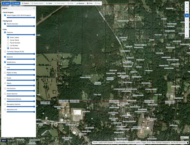
Classic
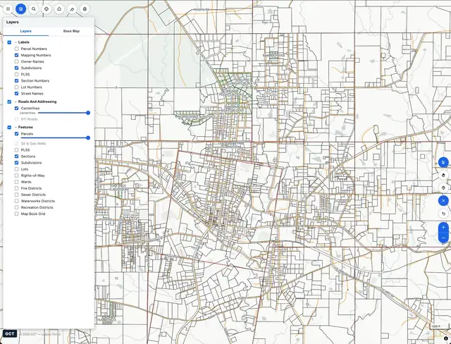
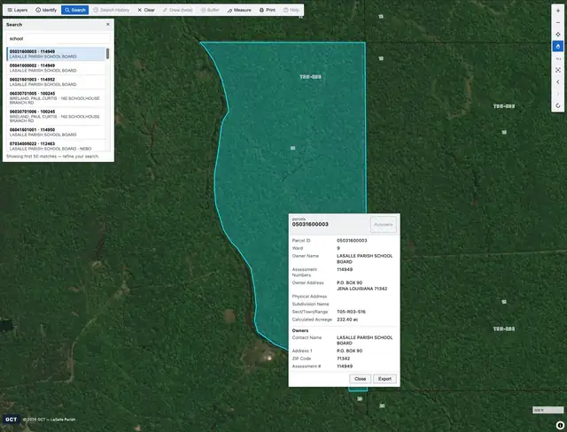
The familiar classic-style layout your staff already know: a top toolbar, a layers panel with per-layer opacity, and a clean identify popup. Zero learning curve for offices coming from a legacy GeoPortal.
- Top toolbar
- Layers + opacity
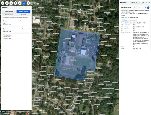
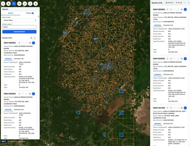
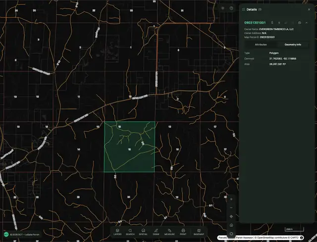
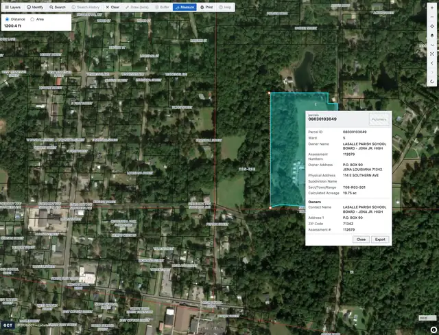
- Identify popup
- Measure / draw / print